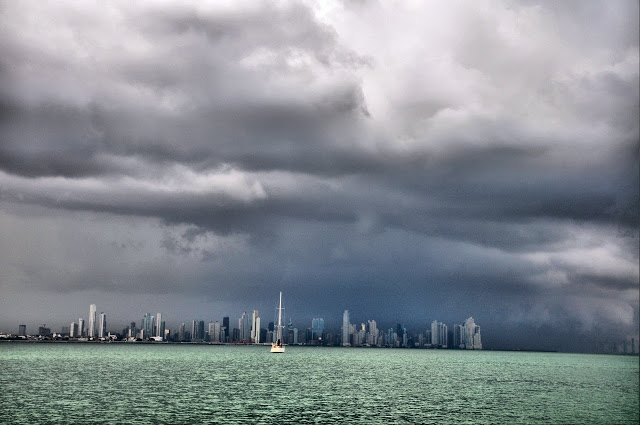
Thunder and lightning while underway at sea can be rather unnerving and can also present some significant risks. In addition to the obvious issues of lightning causing problems with electronic equipment on board, lightning is often associated with strong thunderstorms and squalls, which can produce locally strong gusty winds and locally rough seas. In some cases, these conditions can cause significant damage to the vessel, perhaps even a capsizing or sinking. Having some knowledge about where lightning is occurring is therefore quite useful.


Satellite imagery is helpful for observing cloud patterns and, in combination with the knowledge of how cloud patterns are related to weather systems and how to use satellite images to determine the types of clouds present, can give an indication of where lightning may or may not be likely to occur. But widely available satellite images do not indicate directly where lightning activity is located. For near-coastal waters, land-based radar data provides a much better indication where strong thunderstorms are occurring, but beyond coastal areas over open ocean waters, this is not available.
The Ocean Prediction Center now provides lightning detection data in a few different formats, including as an overlay on satellite photos and as GRIB data. Using this data requires some sort of Internet connectivity while at sea. The availability of this data will not necessarily allow voyagers to avoid lightning but may allow for short-term course changes to minimize the duration of the lightning encounter, and certainly will allow voyagers to be better prepared for the situation.
Figure 1 is an example of a satellite image overlaid with lightning strike data. The image clearly shows a cloud band extending from northeast to southwest in the western Atlantic Ocean, and for those used to looking at these types of images, such a cloud band is quite typical of a cold front. The coloured pixels within the cloud band show the count of lightning strikes per square kilometre per minute over the previous 30 minutes using the scale on the left-hand side of the chart. This display allows a more precise location of where the lightning is occurring at the time of the satellite image than the image on its own could provide.
Read the rest of this report at http://www.oceannavigator.com/Web-Exclusives-2016/Lightning-over-the-ocean/


